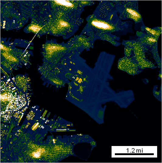
Automatic Map Scale Generation
Intelligently creates and places a scale on a figure based on the lat/lon limits.

Ahora está siguiendo esta publicación
- Verá actualizaciones en las notificaciones de contenido en seguimiento.
- Podrá recibir correos electrónicos, en función de las preferencias de comunicación que haya establecido.
Citar como
Jonathan Sullivan (2026). Automatic Map Scale Generation (https://la.mathworks.com/matlabcentral/fileexchange/33545-automatic-map-scale-generation), MATLAB Central File Exchange. Recuperado .
Agradecimientos
Inspiración para: gdistm, plot_openstreetmap, zoharby/plot_google_map
Información general
- Versión (3,94 KB)
Compatibilidad con la versión de MATLAB
- Compatible con cualquier versión
Compatibilidad con las plataformas
- Windows
- macOS
- Linux

