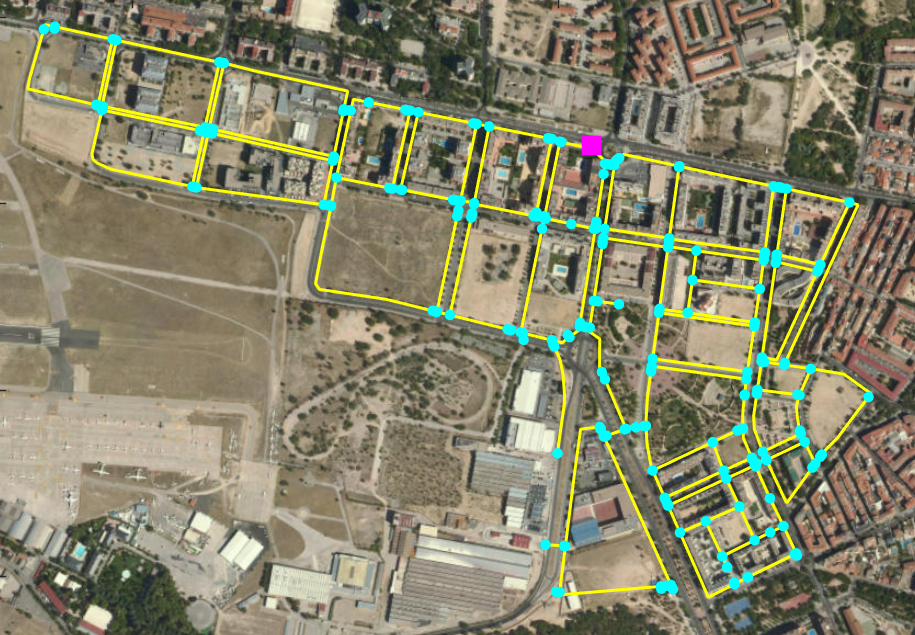
epanetOnMap
Reads EPANET .INP files and plots pipelines and junction/reservoir markers on MATLAB geographic basemaps.

Ahora está siguiendo esta publicación
- Verá actualizaciones en las notificaciones de contenido en seguimiento.
- Podrá recibir correos electrónicos, en función de las preferencias de comunicación que haya establecido.
Citar como
Ildeberto de los Santos Ruiz (2026). epanetOnMap (https://la.mathworks.com/matlabcentral/fileexchange/73001-epanetonmap), MATLAB Central File Exchange. Recuperado .
Información general
- Versión (1,53 MB)
Compatibilidad con la versión de MATLAB
- Compatible con cualquier versión desde R2020b
Compatibilidad con las plataformas
- Windows
- macOS
- Linux
| Versión | Publicado | Notas de la versión | Action |
|---|---|---|---|
| 1.1.2 | Documentation update. |
||
| 1.1.1 | Minor bug fixes. |
||
| 1.1.0 | Made fully compatible with MATLAB’s Mapping Toolbox. Added Name–Value customization for pipe line width/color, junction marker size/color, reservoir marker size/color, and basemap style. |
||
| 1.0.1 | Minor bugs fixed. |
||
| 1.0.0 |

