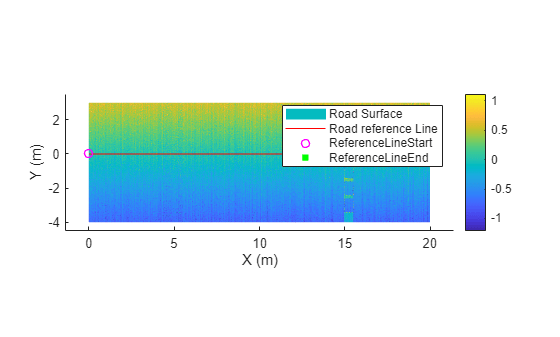
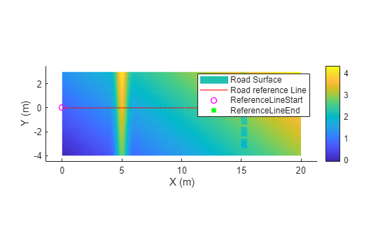
roadSurface
Extract road surface information from point cloud data using road reference line
Since R2025b
Description
The roadSurface object extracts road surface information from
point cloud data. The object stores the surface information of a road specified using a road
reference line and the road width from the road reference line.
Creation
Syntax
Description
rsObj = roadSurface(roadData,roadRefLine,roadWidthFromRefLine,gridResolution)roadSurface object, rsObj, for a road in
the point cloud data roadData. The roadSurface
object contains the surface information of the road, specified by the road reference line
roadRefLine and road width from the reference line
roadWidthFromRefLine, with a grid resolution
gridResolution.
rsObj = roadSurface(___,Name=Value)InterpolationMethod="linear" specifies the linear interpolation
method for interpolating the missing point cloud data.
Note
This feature requires the Scenario Builder for Automated Driving Toolbox™ support package. You can install the Scenario Builder for Automated Driving Toolbox support package from the Add-On Explorer. For more information about installing add-ons, see Get and Manage Add-Ons.
Input Arguments
Name-Value Arguments
Output Arguments
Properties
Object Functions
updateGridResolution | Update grid resolution of road surface data |
exportToASAMOpenCRG | Export road surface object to ASAM OpenCRG format |
evaluate | Extract elevation values of road surface data for location queries |
getRoadBoundaries | Extract road boundaries from road surface data |
getCurvedGridPointCloud | Extract curved regular grid of road surface data as point cloud object |
show | Display road surface from road surface object |
Examples
Version History
Introduced in R2025b

